HANGOUTS
At 7 AM Mark and I had fresh coffee and we spread out the map of California on the kitchen counter. Dawn was a wet gray and wouldn't bring the sun out for a while. I'd grabbed the AAA map from the Jeep when Mark said he'd save me forty five minutes and get me some new scenery 'to go', when I left Arnold and headed back to Los Angeles this morning.
'This is the way the locals head down to Merced from here'. He pointed to Highway 49, the meandering route through the gold country, through Angels Camp and Sonora, but I'd cut down through Rawhide and head into Jamestown for breakfast. The highlighter put a glow on the road map and stirred my imagination with fresh current.
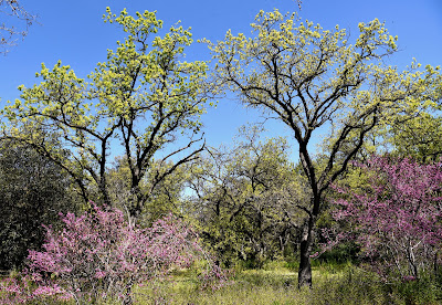
We'd looked at maps a hundred times in the past, but it had been a while. Topographical maps, hiking trails in the high Sierra, Yosemite, we'd hiked and camped the high country with everything on our back when we could grunt and climb the steep switchbacks with anybody. We'd study routes and trail maps through remote mountain passes, searching for trails where there really weren't any trails, pitched camp sites in the open next to crystalline lakes of bright blue and rocky moraine and generally went wherever we wanted. Now we had coffee and hardwood floors and bright kitchen light and a well worn map, posting a route through roads and forgotten ranches rolling over velvet hills in early morning mist.
'Cut down here through Rawhide, into Jamestown', he said, laying color on the road with the marker. 'Some of the most beautiful little spreads are right through here, on J59', he went on, carefully placing the marker on the junction of Hwy 108 that went on to Oakdale, making sure the cutoff to J59 was clear.
'Snelling is a little town, 300 people, a couple of restaurants, a bar. Then there's this big gas station that went in a couple of years ago. I thought, why put a one acre gas station right here'?
'RVs coming through', I said. 'Heading up to the lake'.
'Bikers come through here', he said. 'Big biker area'.
We poured coffee and I checked the weather. The ground was wet from a light rain that brought a dusting of snow up at Bear Valley the previous day when we skied, and today the morning wore a chill.
Maps put my imagination in gear long before I ever get into the Jeep. With a map I can visualize danger and romance, risk and reward. The map puts the route in order, lays out a path from town to town, connects the dots in my mind so I'm free to soak in rich detail, taste the air and the food and the scent of salty earth, burn crisp images in my mind. The map sets the stage, gives me a plan, a visual image of geography. It puts order to the land, gives familiarity to the unfamiliar, gets me ready for its feel.
Mark came outside when it was time to go and showed me a couple of gazetteer maps in his truck. We stood on the driveway in the icy morning light, breath fogging up as we went over last minute details, talked about doing some road trips, something we've done before but need to do more, and then I hit the road.
The Jeep tracked through the road that stretched through the hills in thin morning light, down to Jamestown and Rawhide, the radio off, tires hissing on wet pavement, the thought of pancakes and sausage in Jamestown.
And the kitchen light over the map and the highlight marker and fresh coffee, it had made my mind right.
It was a good beginning.

Comments